43 Sherman Hill Road, Suite D-101,
Woodbury, CT 06798
(203) 266-0778
Civil 1
43 Sherman Hill Road, Suite D-101, Woodbury, CT 06798
Explore the spaces we’ve helped shape—smart, sustainable site solutions tailored to each client’s goals and every site’s potential.
Oxford, CT
Seymour, CT
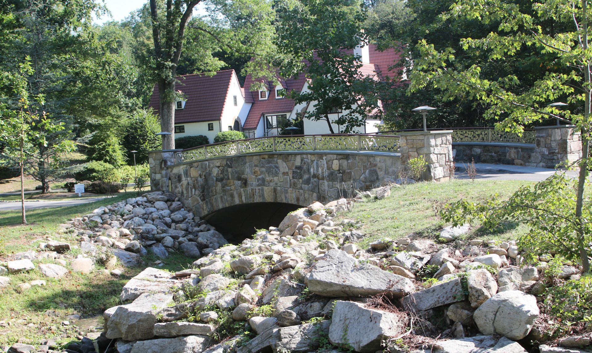
New Canaan, CT
Naugatuck, CT
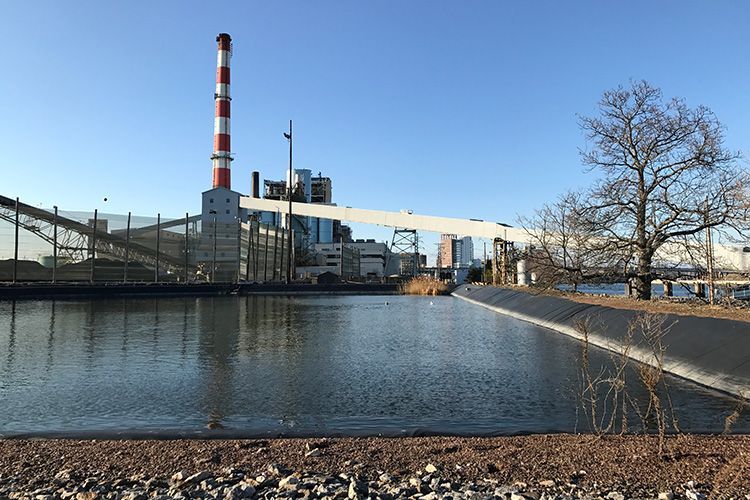
Bridgeport, CT
Colebrook, CT
Waterbury, CT
Watertown, CT
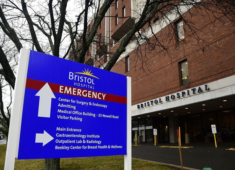
Bristol, CT
Norwalk, CT
Stamford, CT
Darien, CT
Yonkers, NY
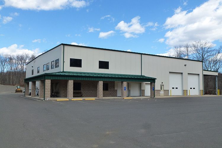
Oakville, CT
Woodbury, CT
Southbury, CT
Guilford, CT
add a title
Add a link
Add a link